Site/ Modeling Plan along the Provo River

Sandlin

Sandlin – Upper Provo River Hydraulic Analysis

Summit County, Utah

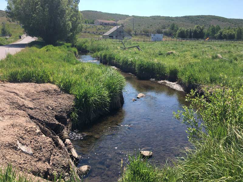
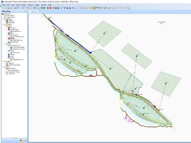
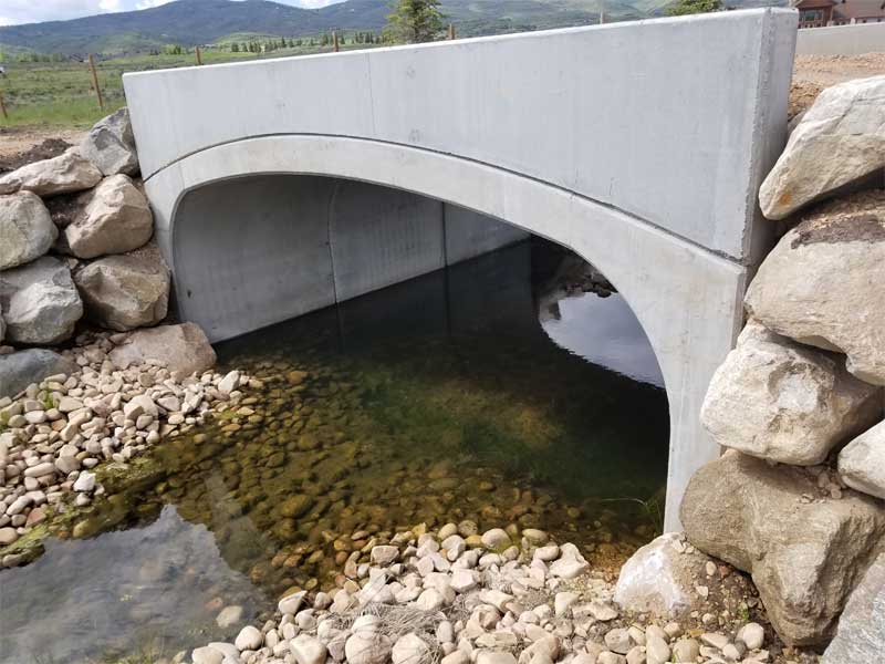
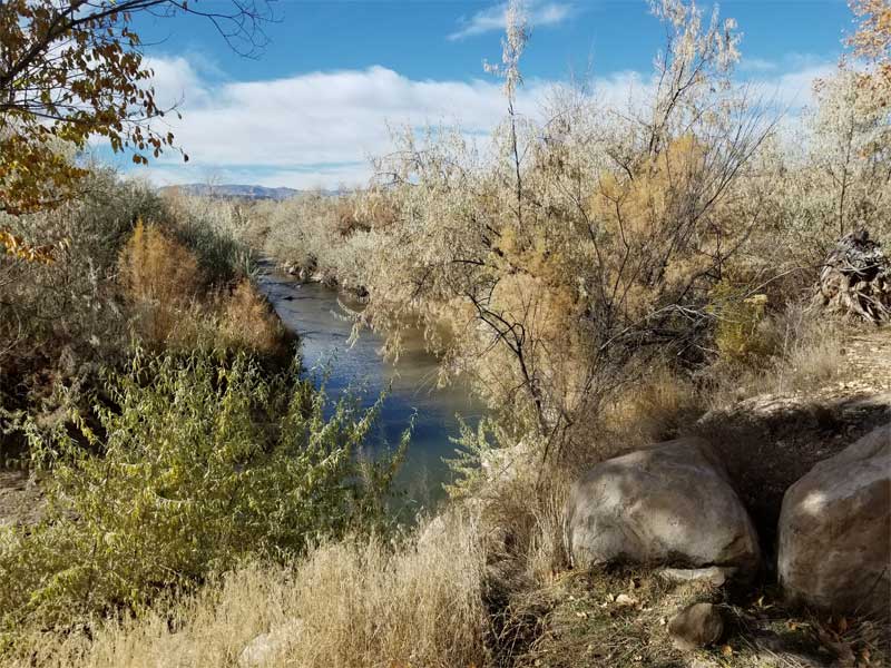
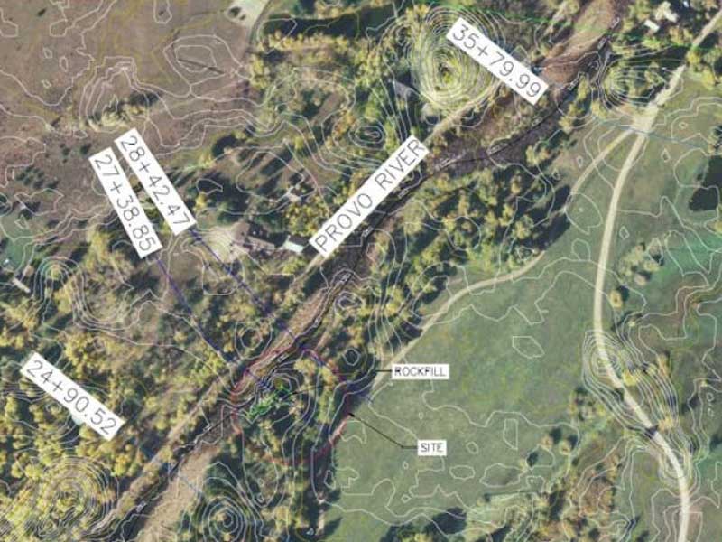
HCF performed a hydraulic analysis of proposed channel and shoreline stabilization measures along the Upper Provo River in Summit County, Utah, evaluating potential impacts on the 100-year flood elevation. A HEC-RAS hydraulic model was developed to assess the effect of proposed rock armoring on river hydraulics, with a secondary steady-state analysis performed using FHWA Hydraulic Analysis Toolbox methods to provide a conservative comparison.

Publicly available DEM data and proposed design geometry were incorporated to simulate existing and post-construction conditions. Modeling results documented that the proposed stabilization improvements would not result in a meaningful increase in flood levels, supporting regulatory permitting and coordination with the Wasatch County Planning Department and other state agencies.

Kimball Creek

Kimball Creek

Kimball Creek – Hydrology Study & Flood Management

Park City, Utah

HCF performed a hydrology study and flood management analysis for Kimball Creek in Park City, Utah. HCF reviewed existing floodplain models and analyzed project drawings to establish the 500-year flood base elevation for basement and crawl space comparison. This work included direct coordination with FEMA and Summit County to ensure compliance with applicable floodplain management requirements.

Deer Waters engineering modeling photo

Deer Water

Deer Waters Resort – Hydrologic Analysis

Hideout, Utah

HCF completed a hydrologic analysis to support the proposed Deer Waters Resort condominium development located on the north side of Hideout, Utah, approximately half a mile east of Jordanelle Reservoir. The analysis evaluated how stormwater runoff from the site and surrounding mountainous terrain is conveyed through existing and proposed drainage infrastructure, confirming that all off-site and on-site flows are safely routed through the development and returned to their historical discharge locations at Jordanelle Reservoir.

Industry-standard hydrologic methods were applied using Autodesk Storm and Sanitary modeling software with SCS TR-55 lag and transform methods for the 10-year storm event. NOAA Atlas 14 precipitation data and USGS Hydrologic Soil Group classifications were used with conservative assumptions throughout. The analysis confirmed that all drainage facilities, including culverts and inlets, provide adequate capacity and conform to State of Utah and local stormwater design standards.

Bridge Photo with a small bridge over a creek with rocks.

Bitner Creek Crossing – Sloop

Bitner Creek Crossing – Site Infrastructure & Bridge Design

Summit County, Utah

HCF provided full civil development services for a private 10-acre property in Summit County, Utah, including the design of a 450-foot roadway and a 20-foot span bridge crossing over Bitner Creek. The creek is designated as a FEMA Zone AE waterway with an established floodway, requiring careful hydraulic consideration and regulatory coordination throughout the design process.

HCF’s scope included water line design featuring a 10-inch hot tap and service line, multiple valves, and thrust blocks. All water system appurtenances were designed in conformance with Mountain Regional Water District and Division of Water Quality standards, as well as American Public Works Association (APWA) and American Water Works Association (AWWA) standards, ensuring full regulatory compliance for this complex multi-discipline infrastructure project.

Price river site photo with river and foilage

Price River

Price River – CLOMR/LOMR Floodplain Analysis

Spring Glen, Utah

HCF performed hydraulic modeling and floodplain mapping to support a FEMA Conditional Letter of Map Revision (CLOMR) for a property largely located within the floodplain and floodway in Spring Glen, Utah. The project involved complex floodplain and floodway modification analysis to facilitate site development while ensuring no adverse impacts to adjacent properties or facilities.

HEC-RAS modeling was used to evaluate 100-year flood conditions and assess the effects of proposed fill and site modifications. Model results were mapped onto base mapping and used to support FEMA submittal documentation for floodplain and floodway revisions. Should the impacts of securing a CLOMR prove infeasible based on financial or risk factors, a Letter of Map Revision (LOMR) will be filed to narrow the floodway.

Well Pump

TEAD North – Water Distribution System Improvements

TEAD North – Water Distribution System Improvements

Tooele Army Depot, Tooele, Utah

HCF provided water distribution system improvements for the Morale, Welfare and Recreation (MWR) water system at Tooele Army Depot in Tooele, Utah, with the primary objective of meeting fire flow requirements. The project included a comprehensive review of previous hydraulic analyses, reports, and model scenarios using EPANet modeling software.

HCF developed cost-efficient improvement recommendations including extending metered pipelines, installing detector checks for flow monitoring, incorporating pressure zone data, adding a storage tank to the existing network, and installing a backup generator. HCF also prepared detailed reports identifying system deficiencies in the MWR area and outlined actionable solutions to bring the water distribution system into full compliance with fire flow standards.