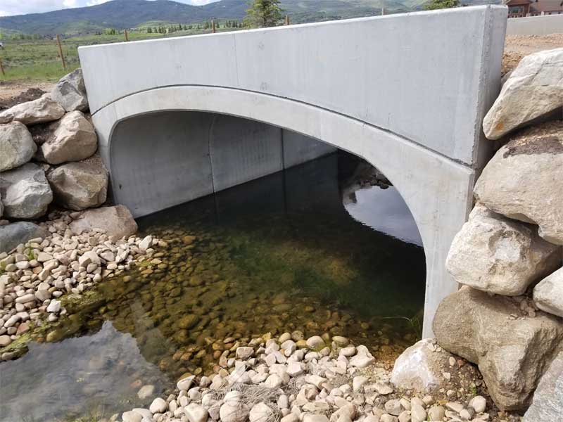
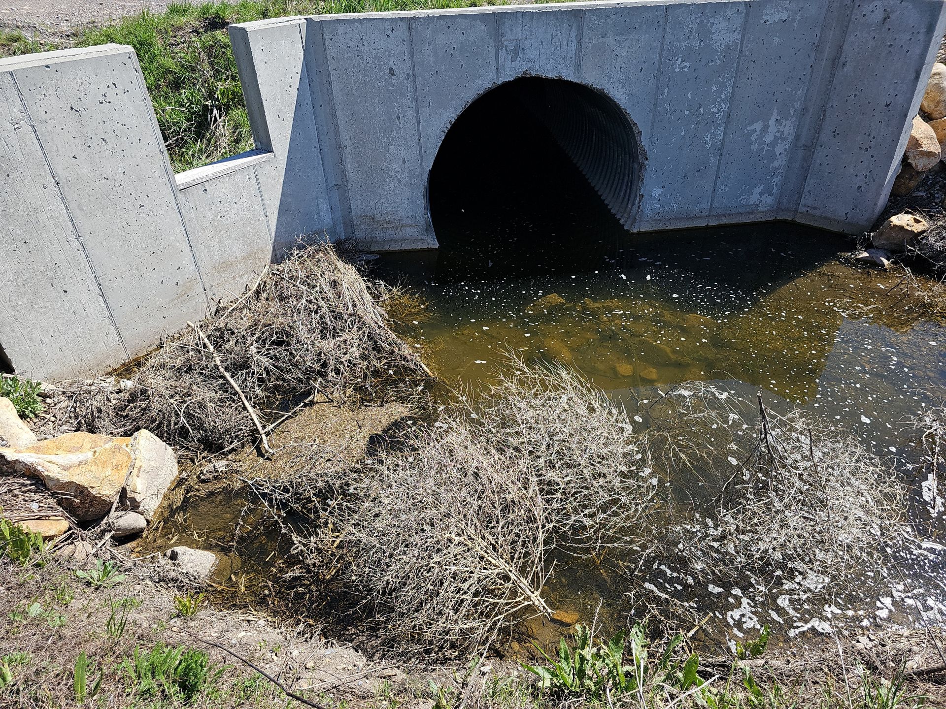
Culvert in Upper Lindley Watershed

Upper Lindley H&H Analysis

Upper Lindley H&H Analysis
Cache County, Utah

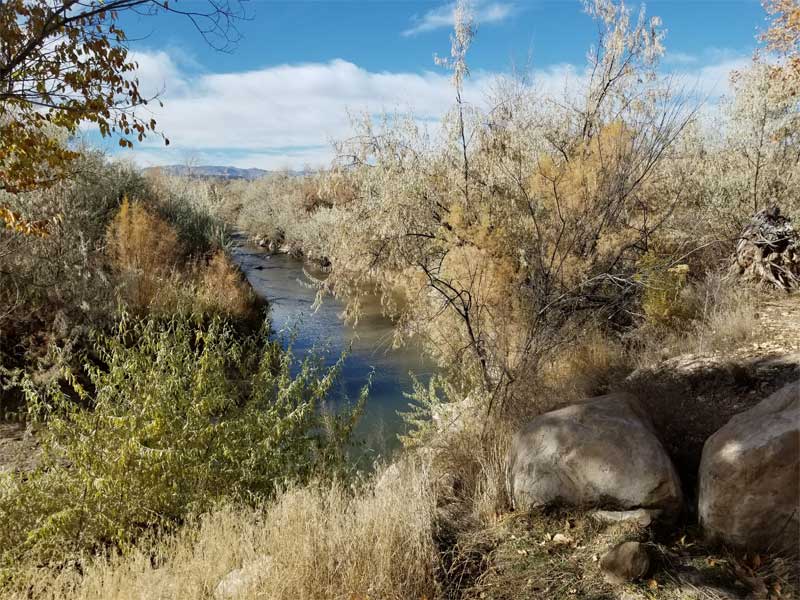
Cache County experienced repeated severe flooding between 2016 and 2021, damaging roadways, washing out culverts, and impacting private property and agricultural land. Recurring flooding continued to threaten residents and infrastructure despite interim repairs, prompting the need for a comprehensive engineering assessment.

HCF performed a detailed hydrologic and hydraulic analysis of the 422-acre Upper Lindley watershed using a 2D HEC-RAS rain-on-grid model, including a unique snowmelt scenario for a more realistic flood-risk assessment. HCF identified infrastructure deficiencies and developed cost-effective mitigation alternatives to reduce flood risk, protect homes, and maintain roadway access.
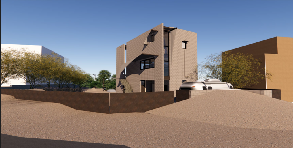
Architectural Rendering of a Sustainable House

Living Building Challenge Custom Home — Nevada

Living Building Challenge Custom Home
Blue Diamond, Nevada

HCF provided civil site engineering for a custom home in Blue Diamond, Nevada, pursuing Living Building Challenge (LBC) Petal Certification,  a sustainability standard that exceeds LEED and traditional green building requirements. The desert climate called for a design built around water conservation and self-sufficiency.

HCF designed the site grading and drainage systems to support low-flow fixtures, native landscaping, and rainwater harvesting to an underground cistern that minimizes evaporation and maximizes retention. The stormwater design incorporated bioswales and dry retention ponds, helping the home achieve LBC Petal Certification.

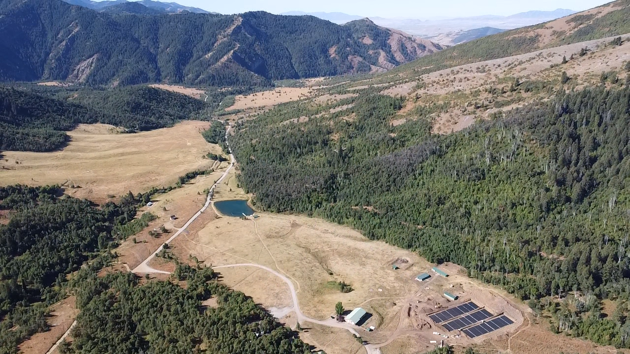
Site photo of the Hull Valley Campground located in Preston Idaho

Hull Valley Canyon Campground

Hull Canyon Campground
Preston, Idaho

The Church of Jesus Christ of Latter-day Saints planned a new 355-acre campground in the mountainous terrain of Hull Canyon, designed to support large youth and group activities. The remote, steep site required a reliable wastewater system for hundreds of users while meeting Idaho Department of Environmental Quality requirements and protecting groundwater.

HCF provided civil and environmental engineering for the campground, including site planning, utility design, and roadway coordination. HCF designed a septic system serving approximately 300 visitors, with multiple lift stations and a distributed drainfield exceeding 40,000 square feet — incorporating water conservation measures for long-term, low-impact operation.

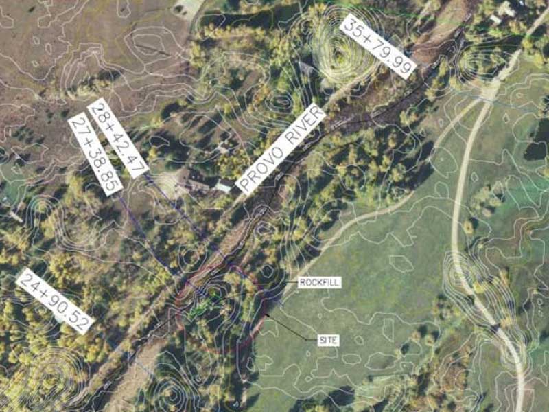
Site/ Modeling Plan along the Provo River

Upper Provo River

Sandlin – Upper Provo River Hydraulic Analysis

Summit County, Utah

HCF performed a hydraulic analysis of proposed channel and shoreline stabilization measures along the Upper Provo River in Summit County, Utah, evaluating potential impacts on the 100-year flood elevation. A HEC-RAS hydraulic model was developed to assess the effect of proposed rock armoring on river hydraulics, with a secondary steady-state analysis performed using FHWA Hydraulic Analysis Toolbox methods to provide a conservative comparison.

Publicly available DEM data and proposed design geometry were incorporated to simulate existing and post-construction conditions. Modeling results documented that the proposed stabilization improvements would not result in a meaningful increase in flood levels, supporting regulatory permitting and coordination with the Wasatch County Planning Department and other state agencies.

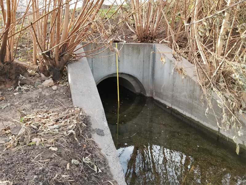
Culvert & headwalls with heavy vegitation, located in Ray Creek.

Ray Creek

HCF provided civil engineering services for Ray Creek. Please contact us for more information about this project.

Kimball Creek

Kimball Creek

Kimball Creek – Hydrology Study & Flood Management

Park City, Utah

HCF performed a hydrology study and flood management analysis for Kimball Creek in Park City, Utah. HCF reviewed existing floodplain models and analyzed project drawings to establish the 500-year flood base elevation for basement and crawl space comparison. This work included direct coordination with FEMA and Summit County to ensure compliance with applicable floodplain management requirements.

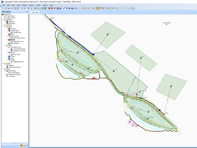
Deer Waters engineering modeling photo

Deer Water

Deer Waters Resort – Hydrologic Analysis

Hideout, Utah

HCF completed a hydrologic analysis to support the proposed Deer Waters Resort condominium development located on the north side of Hideout, Utah, approximately half a mile east of Jordanelle Reservoir. The analysis evaluated how stormwater runoff from the site and surrounding mountainous terrain is conveyed through existing and proposed drainage infrastructure, confirming that all off-site and on-site flows are safely routed through the development and returned to their historical discharge locations at Jordanelle Reservoir.

Industry-standard hydrologic methods were applied using Autodesk Storm and Sanitary modeling software with SCS TR-55 lag and transform methods for the 10-year storm event. NOAA Atlas 14 precipitation data and USGS Hydrologic Soil Group classifications were used with conservative assumptions throughout. The analysis confirmed that all drainage facilities, including culverts and inlets, provide adequate capacity and conform to State of Utah and local stormwater design standards.

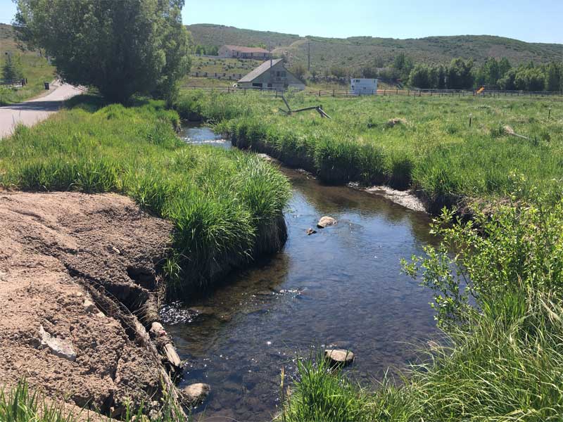
Bridge Photo with a small bridge over a creek with rocks.

Bitner Creek Crossing – Sloop

Bitner Creek Crossing – Site Infrastructure & Bridge Design

Summit County, Utah

HCF provided full civil development services for a private 10-acre property in Summit County, Utah, including the design of a 450-foot roadway and a 20-foot span bridge crossing over Bitner Creek. The creek is designated as a FEMA Zone AE waterway with an established floodway, requiring careful hydraulic consideration and regulatory coordination throughout the design process.

HCF’s scope included water line design featuring a 10-inch hot tap and service line, multiple valves, and thrust blocks. All water system appurtenances were designed in conformance with Mountain Regional Water District and Division of Water Quality standards, as well as American Public Works Association (APWA) and American Water Works Association (AWWA) standards, ensuring full regulatory compliance for this complex multi-discipline infrastructure project.

Price river site photo with river and foilage

Price River

Price River – CLOMR/LOMR Floodplain Analysis

Spring Glen, Utah

HCF performed hydraulic modeling and floodplain mapping to support a FEMA Conditional Letter of Map Revision (CLOMR) for a property largely located within the floodplain and floodway in Spring Glen, Utah. The project involved complex floodplain and floodway modification analysis to facilitate site development while ensuring no adverse impacts to adjacent properties or facilities.

HEC-RAS modeling was used to evaluate 100-year flood conditions and assess the effects of proposed fill and site modifications. Model results were mapped onto base mapping and used to support FEMA submittal documentation for floodplain and floodway revisions. Should the impacts of securing a CLOMR prove infeasible based on financial or risk factors, a Letter of Map Revision (LOMR) will be filed to narrow the floodway.

Site Photo with cliff and rocks with a steep embankment

Little Cottonwood Creek Tributary

Little Cottonwood Creek Tributary – Slope Mitigation

Cottonwood Heights, Utah

HCF provided an engineering evaluation of slope stability and structural support for an existing residence in Cottonwood Heights, Utah, in response to City review under the Sensitive Lands ordinance. Field observations and survey data were used to assess the relationship between the hillside, existing improvements, and the home’s structural zone of influence, confirming that slope conditions do not adversely affect the support of the residence. Based on conservative geometric assumptions and stability criteria, the home was determined to meet accepted static and seismic safety factors.

HCF’s scope also included preparation of grading and erosion control plans, development of rockery stability calculations, and coordination with project stakeholders to support City review and approval. The project emphasized restoring long-term slope stability through appropriate erosion control measures and revegetation of the disturbed hillside adjacent to the Little Cottonwood Creek tributary.